Windsurfing and Surfing Links for Vancouver Island, B.C.,Canada and the World.
Weather links that I use to determine when and where to go.
About Nitinat
Nitinat and West Coast Weather
Victoria Weather
Jordan River and West Coast Waves
Maui/Oahu Weather Tarifa,Spain/Morocco Weather Italy/Mediterranean Weather
Maui 2018 Adventure
Maui 2017 Adventure
Maui 2016 Adventure
Maui 2015 Adventure
Maui Christmas 2014 Adventure
Maui 2014 Adventure
Maui Christmas 2013 Adventure
Maui Christmas 2012 Adventure
Punta San Carlos 2012 Adventure
Maui 2012 Adventure
Maui Christmas 2011 Adventure
Maui 2011 Adventure
Maui Christmas 2010 Adventure
Pistol River Wave Bash 2010
Maui 2010 Adventure
Maui 2009 Xmas and New Years
Maui 2009 Adventure Maui 2008 Xmas Winter Escape
Maui 2008 Adventure Maui 2007 Adventure
Maui 2006 Adventure Maui 2004 Adventure
Maui 2002 Adventure Maui 2001 Adventure
Maui 2000 Adventure Maui 1999 Adventure
 |
CLICK ON MAP LOCATION ABOVE FOR MOST RECENT INFORMATION
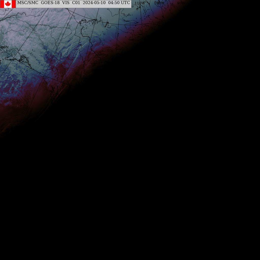
- Western Canada Satellite Photo : Visible Photo. Good for day time and summer, so you can see those Fog Banks off Nitinat
- Western North America Satellite Photo : Visible-Infra-red Photo. Good for night time and winter,so you can see those Storm Fronts coming in.
- Big Blue Pacific Hemisphere Satellite Photo

[click on location to zoom to maximum}
 Satellite Photos and Charts from the Canadian Meterological Centre
or
Click on the Following for Latest Satellite Photo's
Following is Best Stuff for Surfer Dudes
From the U.S. Navy Fleet Numerical Oceanograhic Center

Latest North Pacific WAVE Model Analysis
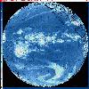
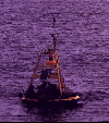 Current West Coast Weather Buoy Data.
 Latest Data at La Perouse Bank from NDBC
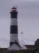 Lighthouse Reports
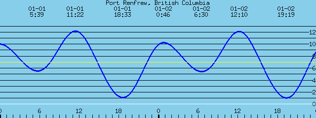 WWW Tide and Current Predictions
 EXCEL Water Sports for Windsurfing Equipment
 Where to Windsurf on Vancouver Island

 La Jolla Surfing Weather Stuff
GLOSSARY OF WAVE TERMS: Warning Scientific Stuff
Click Here to Check out the Nitinat Photo Gallery!
WindSurfing Photo Gallery
Vancouver Island
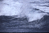
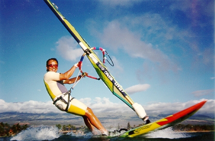
Shredding off Cook Street, Victoria, B.C., Canada
(C)Photo by Randolph Kashino 1996
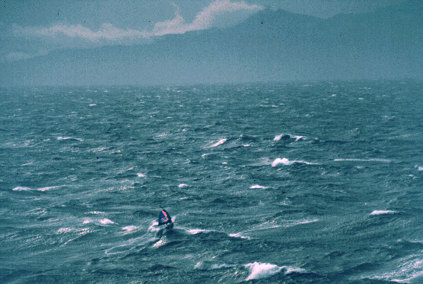
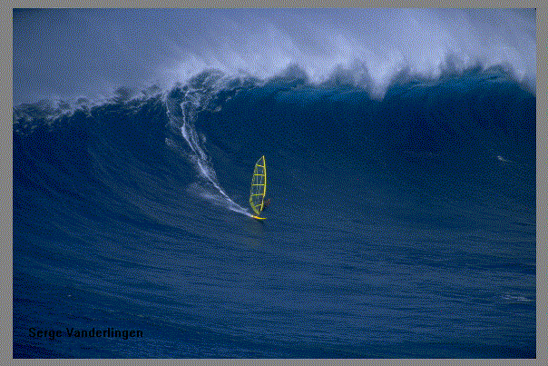
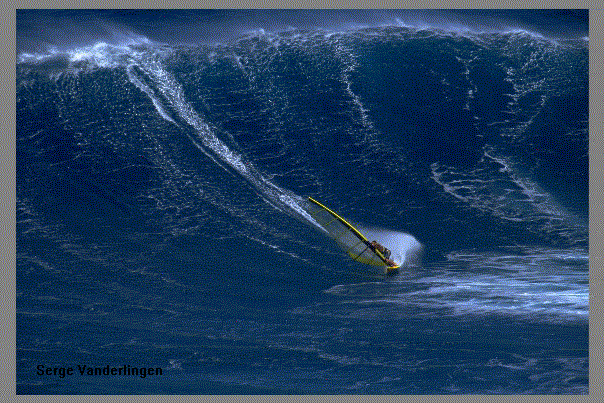
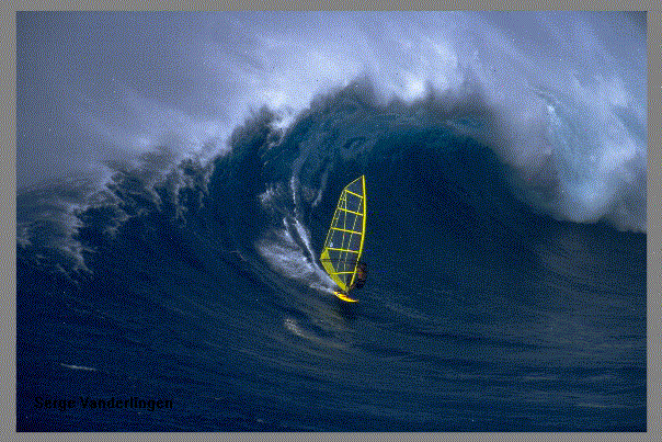
Local Sailor Serge Vanderlingen at Jaws !!!
(C) 1998 Courtesy of Serge Vanderlingen. Photo by Thorsten Indra
(C) 1998 Courtesy of Serge Vanderlingen. Photo by Dani Gennaro
(C) 1998 Courtesy of Serge Vanderlingen. Photo by Thorsten Indra
See you at the Beach, Dude !
If you have comments or suggestions, email me at:
This page has been accessed
315030
times
since 2000/06/29
This page created with Netscape Navigator Gold